SkyDemon Addon to display Glider Activity Sectors within Germany.
Data Source
All data was sourced from http://www.openaip.net/system/files/airspaces/openaip_airspace_germany_de.aip_1605492096 effective 16NOV2020. (Login required)
Requirements
To be able to uses the files provided by Discovering Eagle you need to have a
working installation of SkyDemon on Android, iOS or Windows PC and a valid
subscription.
We develop our files with the newest version of SkyDemon at that given time. Even though SkyDemon claims backwards compatibility for custom data, we can’t
guarantee it.
Cost
Everything on this website is free! Nevertheless I would appreciate if you donate a little via the support page. I do put a lot of work in these downloads and with every donation you help me coming closer to the ultimate goal: Flying around Africa!
Installing
Due to the sandboxing of apss within iOS, at least to our knowledge, it is not
possible to access SkyDemon’s data directory directly on Apple devices. In that
case a workaround might be to follow the PC installation guide and afterwads
sync your PC with you iOS device. More on that below…
- Remove all files from your SkyDemon’s
CustomDatafolder matching the name
patternGermany_Gliding_DDMMMYYYY.airspacein order to prevent previous
versions to be shown.
On Windows computers you will usually find this atC:Users< username >Documents/SkyDemon/CustomData. On Android you will find it under< Internal storage >/SkyDemon/CustomData. - Unzip the contents of the downloaded archive to your SkyDemon’s
CustomDatafolder and make sure not to produce any subfolders! - After unzipping you should find the following files:
README.md(you can delete this one afterwards)LICENSE.mdGermany_FIS_Fix_DDMMMYYYY.airspaceGermany_FIS_Fix.png(you can delete this one afterwards)
- Now startup SkyDemon. If it has been running close and restart it.
- On a Windows PC go to the main menu and turn on
Mapping>Airspace>Other. On a mobile device tap the chart layer icon (three panes stacked on top of each other) in the bottom right of the map window and turn onAirspace>Misc.
Now you should see multiple airspaces with a dark blue dashed border have appeared. If you utilize the “Whats here” menu you can check the frequency, too.
If you own several devices or at least one iOS device and you’ve followed the
PC installation so far, you can know sync the custom data on all of you devices
origination from your PC. Do to that, select “Setup” from SkyDemon’s top menu
and thereafter select “Custom Data” > “Save to Cloud”. After confirming the
action, know all the custom data will be stored inside SkyDemon’s clound along
with your flightplans and settings.
Now on your mobile device open SkyDemon and go to the “Setup” menu (gear icon)
and select “Cloud” > “Load Custom Data from Cloud”. ATTENTION: All custom data
files that were stored on this device will be overridden with the files from
your PC/cloud!
It didn’t work
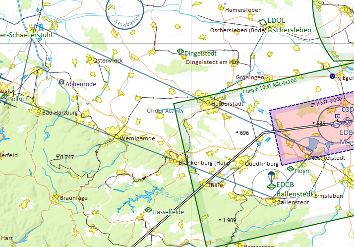
Make sure, Other / Misc airspaces are turned on as described above. Zoom in closer to prevent the sector boundaries been hidden by SkyDemons automatic decluttering feature.
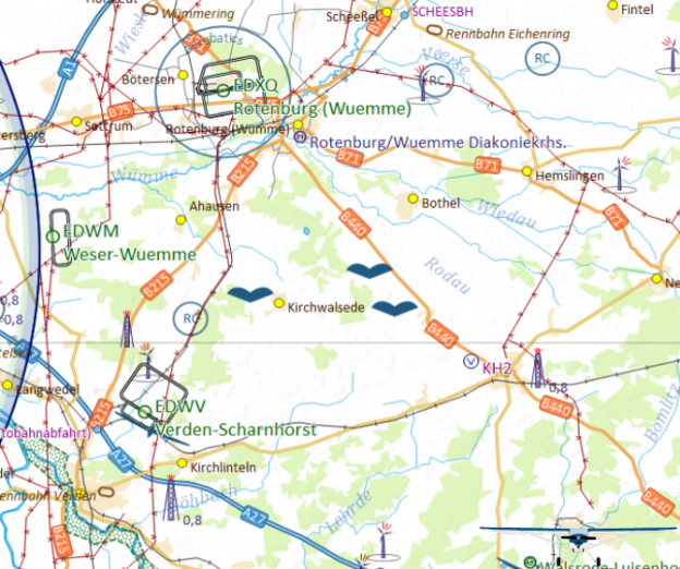
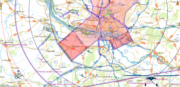
You can check your settings while zooming in to Ballenstedt (EDOI) where there is a glider mountainwave sector north of Harz. See the included screenshot for reference.
If you still do not get any sectors, check if you extracted the archive into your SkyDemon’s CustomData folder without any subfolder. Make sure, you did not change any filename. If you need to correct something here, restart SkyDemon afterwards.
Disclaimer
Discovering Eagle did not and does not invent the data provided. See section Data Source above to learn were the provided data came from. We do rework the raw data from our sources and put them into the SkyDemon format.
Unfortunately, it is impossible the verify the correctness of every given dataset. So we must emphasize that the data provided is an aid to flight planning and navigation, designed to enhance situational awareness. The pilot remains responsible for ensuring they have all information necessary for the safe conduct of the flight and that they adhere to the laws of any states overflown. (Did you recognize this paragraph?)
All data provided come with an effective date of the data of the providing entity. Since Discovering Eagle is essentially a one-man-show, I won’t post a cycle end date nor do I guarantee to update my files when the providing entity does. Nevertheless I strive to provide the most up-to-date data possible. Should you find outdated data, please feel free to drop a note on the contact form.
Versioning/Download
All versions are numbered by their effective date.
16NOV2020 |
Pull from http://www.openaip.net/system/files/airspaces/openaip_airspace_germany_de.aip_1605492096 effective 16NOV2020. |
Authors
- Florian Meissner, founder and front-man of Discovering Eagle.
License
This project is licensed under an extended MIT License – see the LICENSE.md file for details